
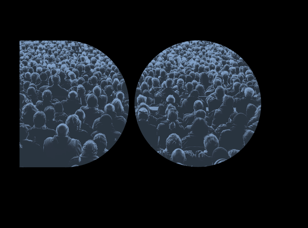
Visualizing Mass Transit
New York City
Andrew Walker visualized the mass-transit systems of most major cities using a custom-built software program created in his spare time. The videos are created with GTFS (General Transit Feed Specification) data. GTFS is a file format for mass transit schedules that Google maps uses to calculate how to get from point A to point B when you click on the public transit option. Walker hopes to keep making more of the mesmerizing videos and we hope he does too.
Los Angles
Observed
View all
Observed
Share on Social
By Observed
Related Posts

Business
Kim Devall|Essays
The most disruptive thing a brand can do is be human
AI Observer
Lee Moreau|Critique
The Wizards of AI are sad and lonely men

Business
Louisa Eunice|Essays
The afterlife of souvenirs: what survives between culture and commerce?

Architecture
Bruce Miller|Essays
A haunting on the prairie
Related Posts
Business
Kim Devall|Essays
The most disruptive thing a brand can do is be human
AI Observer
Lee Moreau|Critique
The Wizards of AI are sad and lonely men
Business
Louisa Eunice|Essays
The afterlife of souvenirs: what survives between culture and commerce?
Architecture
Bruce Miller|Essays